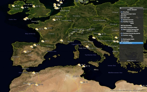
Vitaliy Pronkin has introduced Planito 1.0 for Mac OS X. It’s an online and offline multi-layered viewer for aerial imagery, maps, placemarks and other geospatial data layers for the Earth, Moon and other planets from various data sources.
In its simplest form, Planito can be used as online and offline viewer for OpenStreetMap-family maps. However, there are more layers available with data for travelers, students, teachers, and scientists, including Wikimapia objects, Booking.com hotels, current temperature from weather stations all over the world, US Topo Maps, UNESCO World Heritage sites.
Planito requires Mac OS X 10.7 (“Lion”) and costs US$2.99. It’s available on the Mac App Store in the Travel category.

