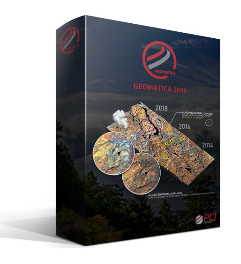
PCI Geomatics has released Geomatica 2018, a new version of the company’s flagship software for desktop and enterprise geoimage processing.
Geomatica features tools for remote sensing, digital photogrammetry, geospatial analysis, mosaicking, and more that can be deployed through the Geomatica desktop, Python workflows, or through large-volume-production GXL systems. The 2018 release introduces Analysis Ready Data (ARD) tools, which addresses critical requirements for performing authoritative and scientifically accurate single-image analysis and multitemporal analytics.
With the new ARD tools, customers can perform radiometric normalization and geometric alignment of large stacks of images through scalable and automated workflows. There is also support for the Committee on Earth Observation Satellites (CEOS) Open Data Cube (ODC), which provides organizations with a unique opportunity to leverage deep catalogs of historical satellite imagery to gain multi-temporal insights.
Plus, PCI Geomatics continues to add support for new sensors, including optical and synthetic-aperture radar (SAR) satellites. For more info, including pricing options, go to http://www.pcigeomatics.com/ .


